I am one of ‘those’ people – the type that has zero sense of direction. And I am wholly dependent on my cell phone’s GPS to get me just about everywhere. But this could mean big trouble in a grid-down situation, especially if I need to venture off my homestead for food and supplies or if I need to find my way back home when the main roads are shut down.
So, to be completely honest, I really need to learn to read maps.
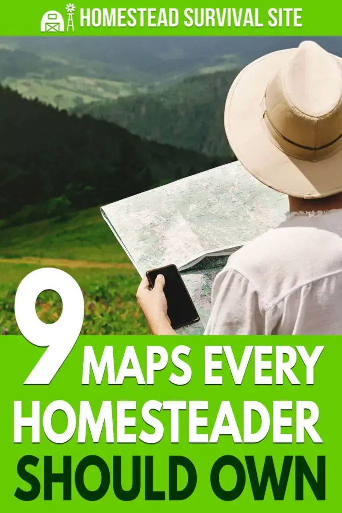
In this article, we’ll talk about the most essential maps you should have as a homesteader. Since we might not always be able to rely on our cell phones to get us where we need to go, we need to find paper versions of the maps we need. We’ll discuss some places you can find maps, too, but first, let’s look at the most important maps you should have on your homestead.
Local or City Map
You’re probably pretty familiar with your local town or city and can get where you need to go without your GPS. But chances are, you don’t know every road or even many alternate routes to get around. And if the main roads are shut down due to an emergency, you might need to use some alternative routes to get to your destination.
Get as detailed of a local map as you can find because you may need it if you’re trying to bug out or trying to get back home to your homestead. You may even want to have local maps of neighboring towns or places where your family members live in case you should need to find them, as well.
County
A county map is the next map you’ll need to have in your collection. It covers a larger area than a local map, so it won’t be quite as detailed, but it will be more detailed than a state map. County maps may show you some rural roads that you just won’t find on larger, state maps.
Keep this handy in case you have to travel in a larger circle to get supplies or help family members. Even if you are familiar with a few routes, you’ll want to have one of these maps on hand in case you have to use unfamiliar roads to travel.
Regional Topographical Map
The next type of map you should consider is a regional topographical map. A topographical map shows your area’s off-road features. Basically, it’s a two-dimensional map of the earth’s three-dimensional contours.
So your topographical map can show you forest areas, slopes, mountains, and hills. It will show lakes and rivers, too. It might show you water areas and even man-made features such as railroad tracks, power transmission lines, and bridges.
This map is pretty helpful if you need to go and find another water source for your homestead. It will also help you find wooded areas if you need to travel undetected. Following power lines and railroad tracks can help you get to the next town over.
You’ll find a lot of information in topographical maps, but they can be challenging to understand. You’ll want to practice reading these maps so you know how to find what you need. A good map will have keys so you can understand the symbols.
State
A state map is also a handy map to have in your arsenal. State maps are not as detailed as county maps, but they will give you a bigger picture of where important cities are located (if you need a hospital) and where interstates and highways go. It might even be helpful to have maps of bordering states on hand, as well.
River
A river map will show you all of your area’s rivers and larger lakes. If you need to fish or travel by water, you’ll want to have a river map. These maps will show you the direction the water flows, dangerous areas to avoid, hazardous areas, and possibly even docks and loading areas. Some river maps will also include topological data, so you know the surrounding terrain.
Hunting Maps
Hunting maps are provided by each state’s Fish and Game Association. They will show you where to find state hunting lands in case you need to hunt for food or if you want to avoid traveling through hunting areas.
Hunting maps may also show you boundaries and some types of property lines, so you know not to go on private property.
Forest Service Map
This is also known as a fire service map. It shows logging roads and fire roads through public lands or national forests. These might be the alternate route you need to take if the main roads are closed.
However, it’s important to note that these roads aren’t always well-maintained and may be covered over with brush or debris. Some may be more like trails than roads and only accessible on foot or with ATVs. You might want to scope out some of these routes before you need them.
Satellite Images
While technically not a map, you might want to consider getting ahold of some satellite images of your area. This can help you recognize important landmarks that you might not be able to see on a typical map.
In a grid-down situation, you probably won’t be able to access services like Google Maps to get those close-up views of where you need to go, but you can print out a few key areas ahead of time that you might need.
National Atlas
In an emergency, you might not travel far from your homestead. But what if you need to relocate your family? Or help family and friends from out of state find you? A national atlas can help you find suitable areas across the country or show you how to get from one state to another.
Where to Find Maps
Visitor Centers
If you go to your state’s visitor center, you’ll probably be able to pick up free maps for your state and even some of the neighboring states.
National Parks
Check out the visitor center at your local, national parks. They are likely to have interesting maps that you can pick up for future reference, and they might even have free local maps, as well.
Amazon.com
Amazon has a variety of maps available, and many are laminated to protect them from wear.
Geology.com
This website sells state atlases, including detailed area, road, and topography maps.
Navigation Using Paper Maps
Get a Good Compass
Don’t just invest in maps. You’re going to need a good compass, as well. A compass will help you travel in the right direction to get where you need to go. Backpackers frequently use compasses to navigate, and this is a fun and easy skill to learn.
REI offers a great video on the parts of a compass and how to use it to navigate.
Celestial Navigation
You can also navigate using the stars if you know what to look for. This takes a little practice, so make sure you try it ahead of time. It can be fun to plan trips with your family and practice navigating your way around with just the stars! You can learn more about it right here.
Map Storage
Maps are essential whether you are bugging out, trying to get home, or locating essential resources in a disaster. Unfortunately, paper maps are not sturdy, so you need to store them in a cool, dry area away from light that can fade them. Laminated maps are ideal but not always available.
You may also want to keep maps in your vehicle and your home.
No comments:
Post a Comment