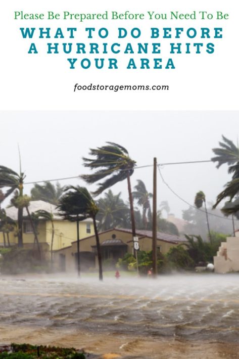
Here’s a detailed, practical guide on What To Do Before A Hurricane Hits Your Area, ideal for personal preparation or for sharing with others who may need help staying safe and ready.
What To Do Before a Hurricane Hits Your Area
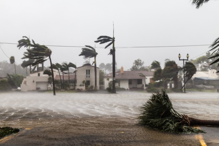
When a hurricane is approaching, preparation is key. Acting early can help protect your home, your family, and your peace of mind. Here’s a step-by-step guide to follow before the storm arrives.
1. Stay Informed
- Monitor local alerts: Follow the National Hurricane Center, local news, and weather apps.
- Know your evacuation zone: Find out if you live in a flood-prone or typical evacuation area.
- Sign up for community alerts: Many counties send emergency notifications via text or email.
2. Create an Evacuation Plan
- Plan where you’ll go: Choose two safe destinations—one nearby and one farther inland.
- Map out routes: Have multiple routes in case roads are closed.
- Include pets: Make sure shelters or hotels allow pets, or locate animal shelters in advance.
- Share your plan: Inform family or friends about your evacuation plans and contact information.
3. Gather Emergency Supplies
Prepare a 72-hour kit or hurricane emergency kit with:
- Non-perishable food (3–5 days’ worth)
- Water (1 gallon per person per day), as you know, I prefer 4 gallons per person per day
- Battery-powered or hand-crank radio
- Flashlights & extra batteries
- First-aid kit & medications
- Hygiene items (soap, sanitizer, wipes)
- Blankets, extra clothes, sturdy shoes
- Cash in small bills
- Essential documents in waterproof bags (Free Emergency Documents Download)
- Chargers & power banks
- Copies of IDs and insurance papers
(Tip: Store your kit in an easy-to-carry bin or backpack.)
4. Prepare Your Home
- Bring in outdoor furniture: Secure or store lawn chairs, grills, and garden tools.
- Board up windows: Use storm shutters or plywood.
- Clean gutters and drains: Prevent water buildup and roof leaks.
- Check sump pumps and generators: Make sure they’re working.
- Turn the refrigerator to the coldest setting: It helps preserve food if power goes out.
- Unplug small appliances: Reduces the risk of damage from power surges.
5. Prepare Your Vehicle
- Fill up your gas tank.
- Check tires and fluids.
- Keep an emergency kit in the car: blankets, jumper cables, snacks, and maps.
- Have a printed map: GPS may not work if cell service goes down.
6. Protect Important Information
- Store digital copies of insurance policies, deeds, medical records, and IDs.
- Keep hard copies sealed in waterproof bags.
- Photograph your home and valuables for insurance claims later.
7. Help Others
- Check on older neighbors or people with disabilities.
- Share resources or ride offers with those who may not have transportation.
- Coordinate with local community groups for updates.
8. Final Steps Before the Storm
- Set your fridge and freezer to the coldest setting.
- Turn off propane tanks.
- Charge all phones, laptops, and flashlights.
- Move to a safe interior room if not evacuating.
- Stay indoors once winds start: don’t go outside during the eye of the storm.
Ten Recent Major U.S. Landfalling Hurricanes
Here is a table summarizing ten recent major U.S. landfalling hurricanes, including their year, approximate U.S. death toll, and estimated damage. The figures are from publicly available sources and may still be revised.
| Hurricane (Year) | Deaths (U.S.) | Estimated U.S. Damage* | Notes |
|---|---|---|---|
| Hurricane Helene (2024) | ~250 + Financial Times+3Encyclopedia Britannica+3Wikipedia+3 | ~$78.7 billion NOAA Coastal Management+1 | Made landfall in Florida’s Big Bend region; extensive flooding inland. |
| Hurricane Idalia (2023) | ~12 Wikipedia | ~$3.5 billion Wikipedia | Category 4 at peak; landfall in Florida and impacts into Georgia/Carolinas. |
| Hurricane Ian (2022) | ~150+ Wikipedia+1 | ~$112 billion+ Wikipedia+2The Zebra+2 | Cat 5 at one point; major U.S. damage in Florida. |
| Hurricane Ida (2021) | ~90+ CDC+1 | ~$75 billion PBS+1 | Landfall in Louisiana; heavy damage and flooding in Northeast U.S. as remnants. |
| Hurricane Laura (2020) | ~81 Wikipedia | ~$23.3 billion+ Wikipedia | Made landfall in southwest Louisiana as a strong major hurricane. |
| Hurricane Michael (2018) | ~74 Wikipedia+1 | ~$25 billion National Hurricane Center+1 | Category 5 landfall in Florida Panhandle; very intense storm. |
| Hurricane Harvey (2017) | ~100 The Zebra+1 | ~$160 billion (adjusted) The Zebra+1 | Cat 4 landfall in Texas; massive rainfall & flooding. |
| Hurricane Irma (2017) | — (deaths not in this table) | ~$38.4 billion (adjusted) III | Made landfall as a post-tropical storm but had a huge U.S. impact (NY/NJ). |
| Superstorm Sandy (2012) | ~160 (including indirect) Wikipedia+1 | ~$88.5 billion The Zebra+1 | Category 5 landfall in the Florida Panhandle; very intense storm. |
| Hurricane Katrina (2005) | Major category storm; widespread U.S. impacts, including Florida. | ~$200+ billion (inflation adjusted) The Zebra+1 | One of the most destructive U.S. storms ever. |
*Damage values are U.S.-only estimates unless noted, and many are rounded or preliminary.
Important Notes & Caveats
- “Deaths” may include direct and indirect fatalities depending on the source; “damage” estimates vary widely and may exclude some indirect costs.
- This list is not strictly the “last ten hurricanes” in chronological order but rather the recent major U.S. landfalling storms for which reasonably reliable data are available.
- Some storms (e.g., Irma) have less complete data in this summary; for a fully detailed breakdown, more research may be required.
- Adjusted/inflation-adjusted figures may differ depending on the source.
- Many storms cause additional indirect and long-term impacts not captured in these headline numbers (e.g., long-term mortality, economic disruption).
How Hurricanes Are Rated
1. The Saffir–Simpson Hurricane Wind Scale (SSHWS)
This is the official system used by the National Hurricane Center (NHC) to classify hurricanes in the Atlantic and eastern Pacific Oceans.
It divides hurricanes into five categories (1–5) based on their sustained wind speeds, which are measured in miles per hour (mph) or kilometers per hour (km/h).
Hurricane Rating Scale
| Category | Wind Speed (mph) | Wind Speed (km/h) | Potential Damage |
|---|---|---|---|
| Category 1 | 74–95 mph | 119–153 km/h | Minimal — Some damage to roofs, siding, and trees. Power outages possible. |
| Category 2 | 96–110 mph | 154–177 km/h | Moderate — Major roof and siding damage; near-total power loss for days. |
| Category 3 (Major) | 111–129 mph | 178–208 km/h | Devastating — Structural damage to small buildings; electricity and water unavailable for days to weeks. |
| Category 4 (Major) | 130–156 mph | 209–251 km/h | Catastrophic — Severe damage to most structures; long-term outages lasting weeks or months. |
| Category 5 (Major) | 157+ mph | 252+ km/h | Catastrophic — High percentage of homes destroyed, area uninhabitable for weeks or months. |
2. How Wind Speed Is Measured
- Sustained winds: The scale uses 1-minute average sustained wind speed at about 10 meters (33 feet) above the surface.
- Tools used:
- Satellite estimates
- Reconnaissance aircraft (“Hurricane Hunters”)
- Buoys and weather stations
3. What the Scale Doesn’t Measure
The Saffir–Simpson scale only measures wind.
It does not account for:
- Rainfall or flooding
- Storm surge (ocean water pushed onto land)
- Tornadoes spawned by the storm
- Size or duration of the hurricane
These factors can still cause massive damage, even from lower-category storms (for example, Hurricane Harvey in 2017 caused catastrophic flooding despite being Category 4 at landfall).
4. Summary
- Category 1–2: Dangerous, but manageable with preparation.
- Category 3–5: “Major hurricanes”, incredibly destructive and life-threatening.
- Ratings are determined by maximum sustained wind, not rainfall or surge.
Best Places to Evacuate To During a Hurricane
1. Follow Official Evacuation Routes
- Local and state emergency management offices designate safe evacuation routes that lead inland or to higher ground.
- These roads are built to handle heavier traffic and are prioritized for clearing debris.
- Always follow signs marked “Evacuation Route.”
- You can find them through:
- State DOT (Department of Transportation) websites
- Local emergency apps or broadcasts
- County emergency management offices
2. Evacuate to a Designated Shelter
- County or Red Cross shelters are the safest option if you can’t stay with family or in a hotel.
- Shelters are:
- Away from flood zones
- Built to withstand high winds
- Often stocked with food, water, and basic medical care
- Find nearby shelters through:
- Red Cross Shelter Map
- Local emergency management websites
(Tip: Bring personal items like medication, chargers, bedding, and identification — shelters may not provide everything.)
3. Stay with Friends or Family Inland
- If possible, plan ahead of time with relatives or friends who:
- Live inland and outside flood-prone areas
- Have reliable power, food, and water supplies
- Are reachable by multiple travel routes
- This option is often more comfortable and private than a public shelter.
4. Hotels and Lodging Away From the Coast
- Many hotels inland offer hurricane evacuation discounts during storm warnings.
- Book early — rooms fill quickly once a hurricane watch is issued.
- Search for hotels along interstates at least 50–100 miles inland.
5. Community or Church Centers
- In smaller towns or rural areas, churches, schools, and community centers often open as temporary shelters.
- These may not always be listed online, so listen to local radio updates for announcements.
6. Avoid Unsafe Evacuation Locations
Do not evacuate to:
- Mobile homes or trailers (even outside the storm zone — too fragile for hurricane winds).
- Low-lying coastal areas or bridges.
- Flood-prone valleys or riverbanks.
- Highways or overpasses — unsafe to shelter under or near.
7. If You Have Pets
- Choose pet-friendly shelters or hotels (check in advance — not all accept animals).
- Bring pet carriers, leashes, food, water, and vaccination records.
- Use the Pet-Friendly Shelter Locator at bringfido.com/emergency.
8. Best General Regions to Head Toward (U.S.)
If you’re in hurricane-prone coastal states like Florida, Texas, Louisiana, Alabama, Georgia, or the Carolinas, move toward:
- Higher elevation inland areas (often 50–100+ miles from the coast).
- Large inland cities such as:
- Florida: Gainesville, Tallahassee, Ocala
- Texas: Austin, San Antonio, Dallas
- Louisiana: Shreveport, Monroe
- Georgia: Macon, Columbus
- Carolinas: Raleigh, Greensboro, Greenville
(Exact destinations depend on your state’s evacuation orders and storm path.)
The best place to evacuate is the one that gets you out of the danger zone quickly, safely, and well before landfall.
Always:
- Listen to local officials
- Leave early to avoid traffic
- Bring supplies for at least 72 hours
Things to Stock Up On Before a Hurricane
Final Word
The best place to evacuate is the one that gets you out of the danger zone quickly, safely, and well before landfall. Preparation gives you control and calm in the chaos. Hurricanes are unpredictable, but planning increases your family’s safety and your ability to recover afterward. May God bless this world, Linda
Copyright Images: Hurricane Irma AdobeStock_171085788 By Satoshi Kina, Hurricane Irma Second Picture AdobeStock_171085827 By Satoshi Kina,
The post What To Do Before A Hurricane Hits Your Area appeared first on Food Storage Moms.
from Food Storage Moms
No comments:
Post a Comment